Photo by Andrew Neel on Unsplash There is no Census 2010 Long Form. I still get asked by planners and researchers about when will the Census 2010 Long Form data be released. So I hope to clear up the confusion around this topic. Bottom-line: there is no Census 2010 Long Form. It’s been replaced by …
Category Archives: Planning Data
American Community Survey vs. Decennial Census: What’s the Difference
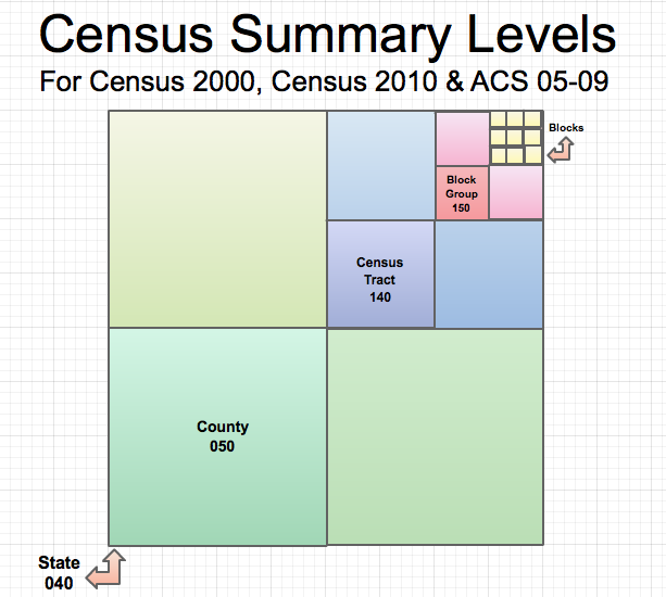
Photo by timothy muza on Unsplash This post explains the differences between the American Community Survey (ACS) and the Decennial Census and how those differences will impact your work. Background: Long Form and Short Form Remember back to the Census 2000 when some people were complaining about the Census form taking forever to fill out? …
Continue reading “American Community Survey vs. Decennial Census: What’s the Difference”
National Land Cover Data Set: when there’s no Local Land Use GIS data
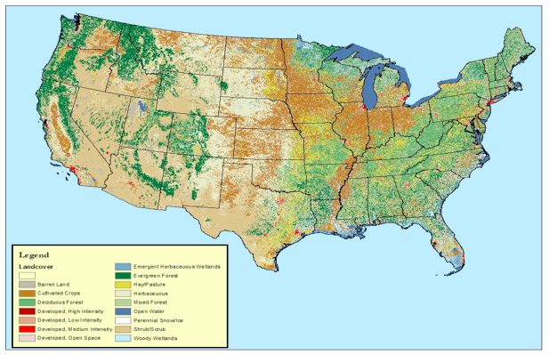
Co-written by Aaron Herman Finding land use land cover data is a pain. Unless your project is within an MPO/COG that has historic and current land use shapefiles that are easy for your GIS guru to access, you can be up a creek without a paddle when it comes to finding good land use data. …
Continue reading “National Land Cover Data Set: when there’s no Local Land Use GIS data”
Road Miles by State
Photo by Dan Gold on Unsplash This blog post was updated on April 30, 2021. I find myself googling for this data once a month or so. I just can’t seem to remember where to find it on the Federal Highway Administration’s website. Below are states by total 2019 lane miles–which is the most recent …